|
Step back in history
Waterville, Ireland
|
Waterville, Ireland
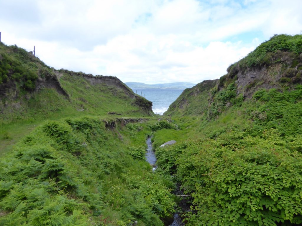
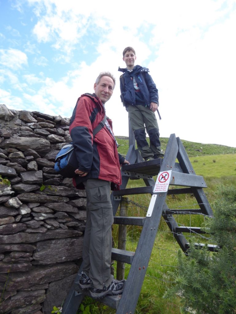
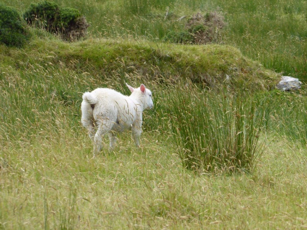
This morning we woke up to a very windy morning. We called the Donnelly’s to find out if it would be a good idea to go fishing or not. We assume that Frank probably would have gone out with us, but we decided against it. So we had tea in bed and checked maps and cards and decided to go hiking. During breakfast Karsten suggested that we connect hiking with geocaching. He checked to see what is nearby and we found one to search. Tralaher Beach Cove. We set off, first by car, which we parked and then started walking. On the way down I read a sign leading to Loher Stone Fort, I mentioned that on the way back that we should also take hike there. Exercise is important! We kept going checking the coordinates and wondered why the arrow was pointing towards the ocean and how to get there. After approx. 2 km and a bend in a curve we saw a gate and a pathway leading down to the beach. It was beautiful with a tiny waterfall. When we reached the beach we walked a bit more on stones, teetering and trying not to stumble. After a while we reached the point where somebody might have shouted: Hot!, but we had no idea where to look, behind us cliff and in front the ocean, so we had a look at the hint: Look up and enjoy. We did, Eric and Karsten scrambled up and Eric a bit further and he found it! After enjoying the view we headed back up, crossed a pasture and climbed over a fence to get back on the road. On the way back Karsten wanted to go back to the car, because he had left his mobile in it. Duh. Eric and I waited at the signpost pointing towards Loher waiting for him to return as I didn’t want to walk the whole back to the car again. Eric joked on how dad would probably show up with the car…..which he did. We drove a bit down the road and then parked the car again to get some more hiking done. On the way to Loher we saw another sign pointing to the Kerry Way, this is the hiking route along the whole Ring of Kerry. Karsten decided that we should take this way to the Fort. It was one of his best decisions. We walked through fields, climbing over fences with steps that are placed along the way. We walked next to grazing sheep and had a beautiful view of Ballinskelligs Bay. Checking our GPS tracker we kept checking if we were on the right track, because we couldn’t see the Fort. We then discovered that it wasn’t far but it was much lower than we were. When we finally discovered the Fort, we saw that we would need to cross a field and hopefully not go through somebody’s garden. Fortunately we are in Ireland and you won’t get shot for trespassing. We cut through the field without a problem, climbed over another fence and voilà we were standing in front of the Fort. We took a break ate our sandwiches and I headed towards the entrance of the Fort. When I entered the Fort I saw a woman standing there drawing the entrance. I quickly moved out of the way and climbed up the side to have a view of the bay. There were no other tourist and it was beautiful, quiet and calming. When we started to leave, the lady spoke to us and mentioned that the Fort was actually much older than what the signs said. We started chatting and she and I exchanged our knowledge on Irish history. She walked back with us and we stopped at her atelier. She has beautiful paintings and drawings. Her name is Susan Morley and I am sure fate brought us together. It was a beautiful day, the grey skies were blue and sunny, we all actually have a tan…. In our faces.

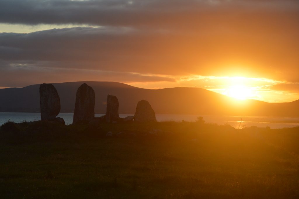
Geocaching Walking on The Kerry Way Lamb on the way to mama Sunset